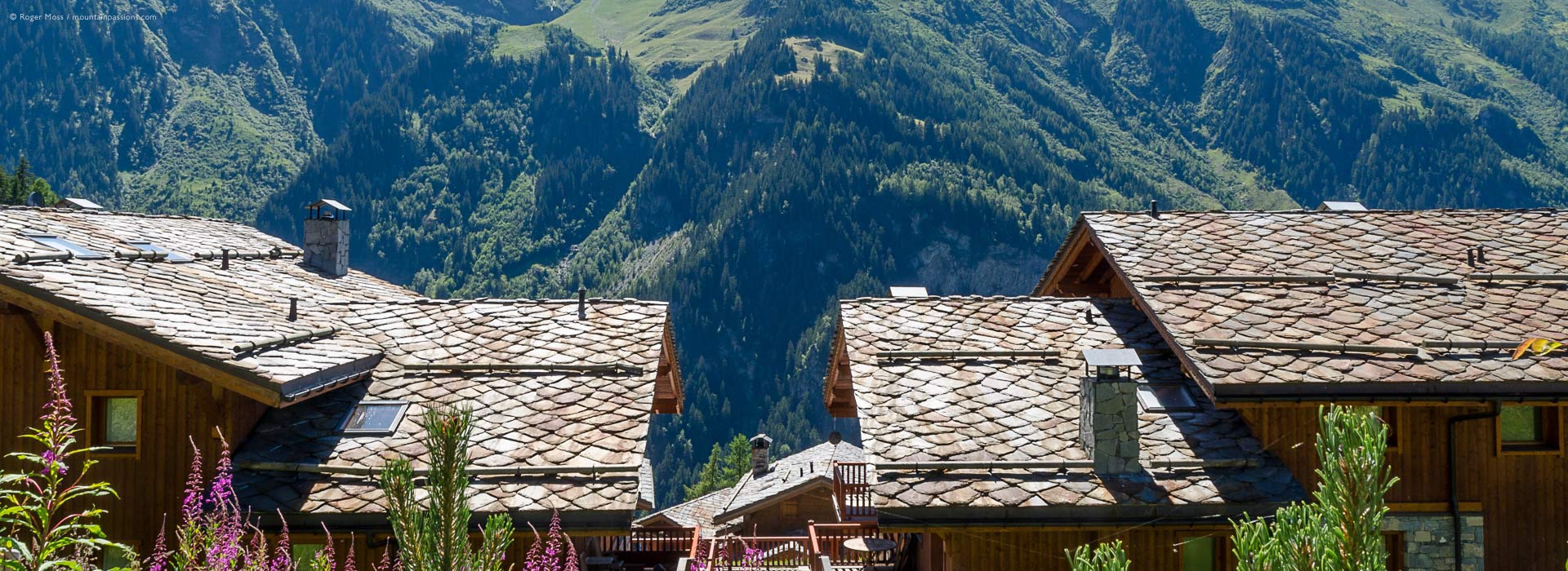
Vanoise Walking Tour
High-altitude walking tour in the Vanoise National Park
One of the great beauties of the Vanoise walking tour, apart from the superb scenery, is that you don’t drop down to a valley again until the very end. Likewise you will not pass through villages, or walk close to roads. Having said this, the Tour is well provided with mountain refuges which provide simple accommodation, and where you’ll meet like-minded people.
It is also, in my opinion, a better tour than the one described passing through the village of Val d’Isère and Tignes with all the cancerous protuberances of the ski industry. Compared with the Tour du Mont Blanc, you remain at altitude during the whole tour and need only touch tarmac road for 50m from start to finish. There’s a choice of natural starting-points, namely Pralognan-la-Vanoise, (accessible from Moutiers in the Tarentaise valley) or Modane (in the Maurienne Valley). The route I will describe starts from Pralognan-la-Vanoise.
The ancient Route du Sel
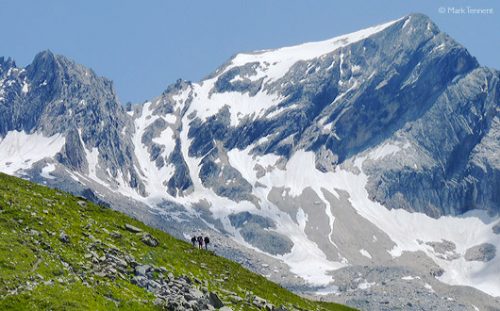
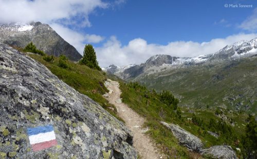
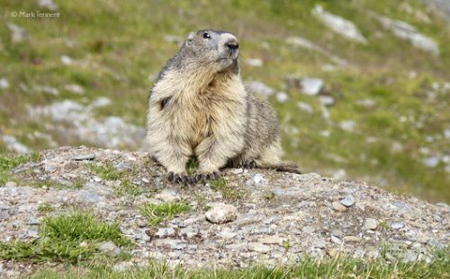
If you take the route in a clock-wise direction, the first day is a gentle one which leads via the Lac des Vaches to the Col de la Vanoise, at the foot of the Grande Casse. The route follows the ancient “Route du Sel”; an old trading route going back many centuries. The col, with the Refuge Félix Faure, makes a wonderful spot in which to spend the night. The marmottes here are particularly friendly. If you have energy to spare you can explore the surrounding area and perhaps walk up to the edge of the glacier.
The Italian Frontier
The path now heads past Lac Bond and the Lac du Col de la Vanoise, only losing a little height, before contouring right around the hillside. There’s a junction here with the path to Entre deux Eaux and a road to Termignon, in the Maurienne. The path climbs gently but in general follows a natural balcony, passing below the glacier de Pelve and above the deep gorge of the Doron du Termignon. The views to the south are outstanding, a panorama of mountains which form the Italian frontier (the only road across this range passes over the Col du Mont Cenis). Soon the Arpont Refuge comes into sight, built into the moraine and thus protected from avalanches.
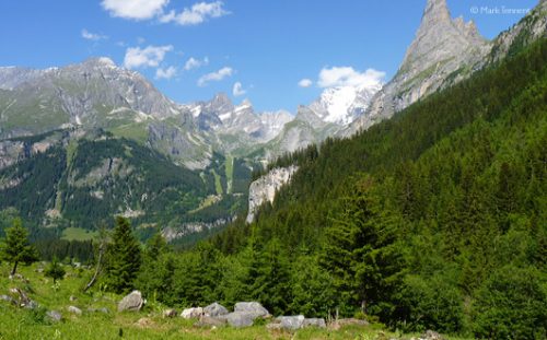
Above the Maurienne
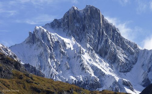
The journey continues high above the Maurienne, crossing tumbling streams on the steep flanks of the mountains below the Dent Parrachée. The shepherds’ huts of La Loza perched on a spur are passed, before a zig-zag descent crossing some steep ravines brings us out above the village of Aussois. Here two lakes, the Plan d’Amont (higher) and the Plan d’Aval (lower) provide hydro-electric power. A few ski-lifts make their appearance as the national park’s boundary bends inwards. There’s a choice of refuges: Plan Sec, La Dent Parrachée or the Fond d’Aussois. Take your pick, but I like the traditional, rustic Dent Parrachée with Franck, the friendly guardian.
Alpine pastures
Today’s ‘normal route’ crosses over the valley and passes via the Col Barbier (2287m), sharing the line of the GR5 on its journey south, before traversing more alpine pastures. Be aware of the “patous” – dogs who may be guarding the herds of sheep (the best advice is to stop and wait for them to see that you are not a threat, and then to move slowly). The route now drops through pine woods and passes through the edge of a boulder field before regaining height to reach the L’Orgère. Here there’s the first sight of tarmac since leaving Pralognan-la-Vanoise, and a chance for a bit more comfort if you wish. Those wanting more of a challenge can take the ‘direct’ route via the Col de la Masse (2923m), with an equally challenging (for the knees) descent to the l’Orgère. This area is often frequented by chamois.
High Points
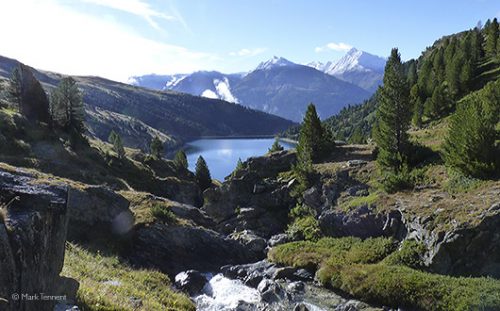
The next section climbs in a few zig-zags above l’Orgère before easing off and eventually passing the Lac de la Partie. Above and to the left is the Aiguille Polset and the Glacier de Gébroulaz, although the route makes for the natural crossing point, the Col de la Chavière (2796m), the highest ‘obligatory’ col on any GR in France. A short, steep descent on loose ground leads to a meandering route through old moraine and boulder-fields. Soon the Refuge Peclet-Polset is reached, a very modern refuge whose predecessor was destroyed by fire. If you want a little more exercise you can reach the Lac Blanc in about 15 mins from here.
The End of the Vanoise Walking Tour
The valley which extends below is the start of the Doron, and soon you are among the pastures again on a well-defined track. Make a choice at the farm of Le Ritort either to carry on in the valley bottom, or you can climb up and traverse below the Glacier de Génépy before regaining the valley floor near the hamlet of Prioux. Here the tarmac commences again, but leave the end of the hamlet and walk down the left-hand bank to reach the road which is crossed, to immediately follow a track all the way to Pralognan-la-Vanoise, and the end of the Tour.